
Cat Compaction with Mapping
Cat Compaction with Mapping
Cat® Mapping technology delivers real-time compaction mapping using GPS location, pass count, and compaction data to improve jobsite visibility and compaction performance.
DESCRIPTION
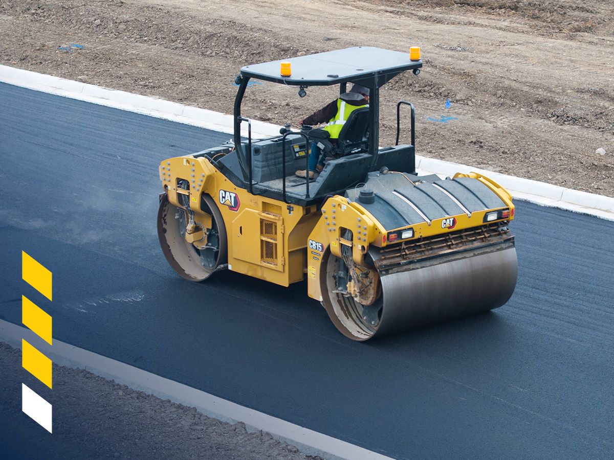
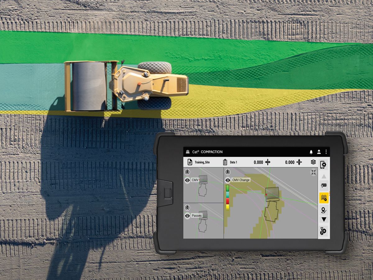
Cat® mapping technology combines location, pass count, and compaction measurements to create a real-time visualization as compaction happens. In addition to monitoring from the operator station, the system records and saves data to the cloud for further analysis.Mapping helps the operator visualize the work as it occurs. It helps to ensure that the compactor covers the entire jobsite and produces uniform work. It can also indicate problem areas allowing remediation to occur while the ground is open at a lower cost. Mapping can also document the work and provide data for analysis. Mapping technology is scalable with different levels of accuracy available.
Reduce Rework
Cat® mapping technology helps to visually identify potential soil structure issues early in the construction process or minimize the risk of under- or over- compacting the asphalt.
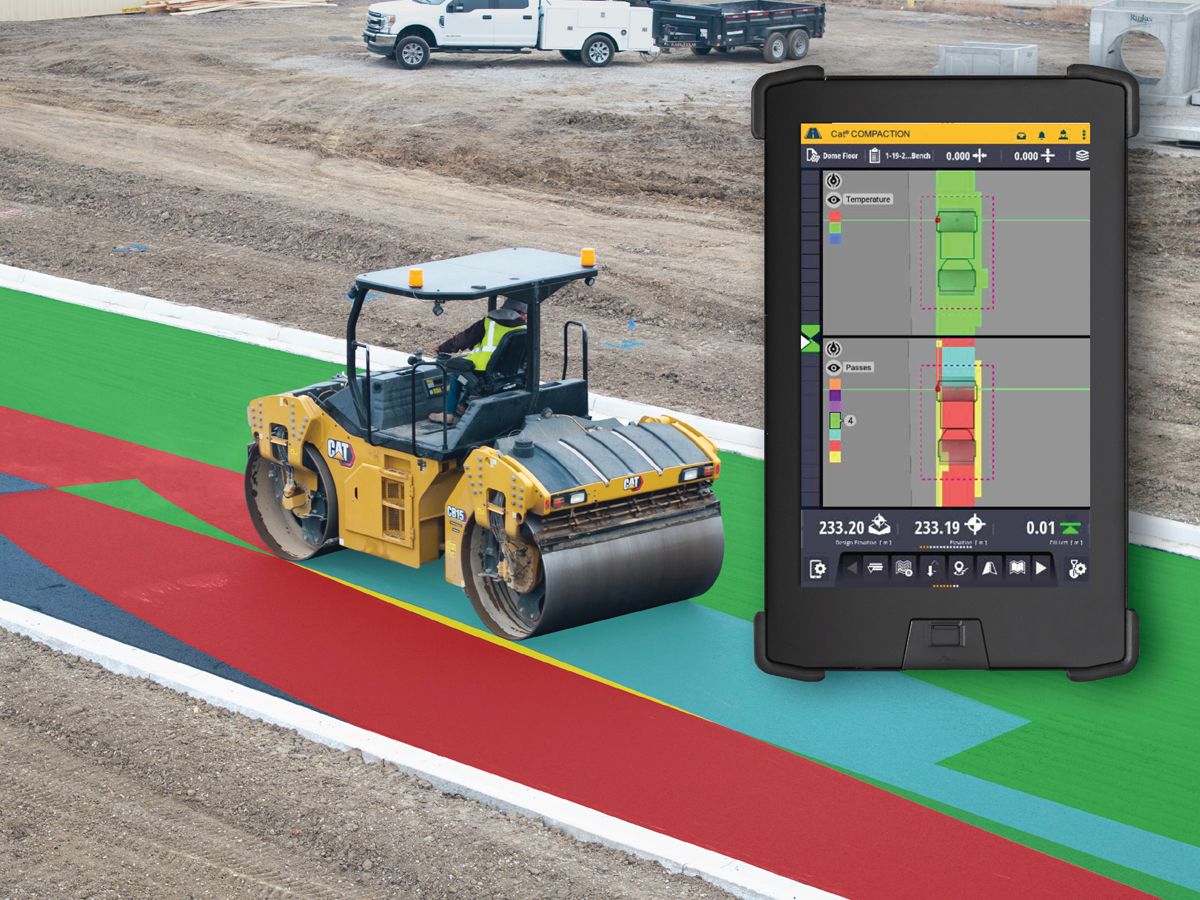
Coverage You Can See
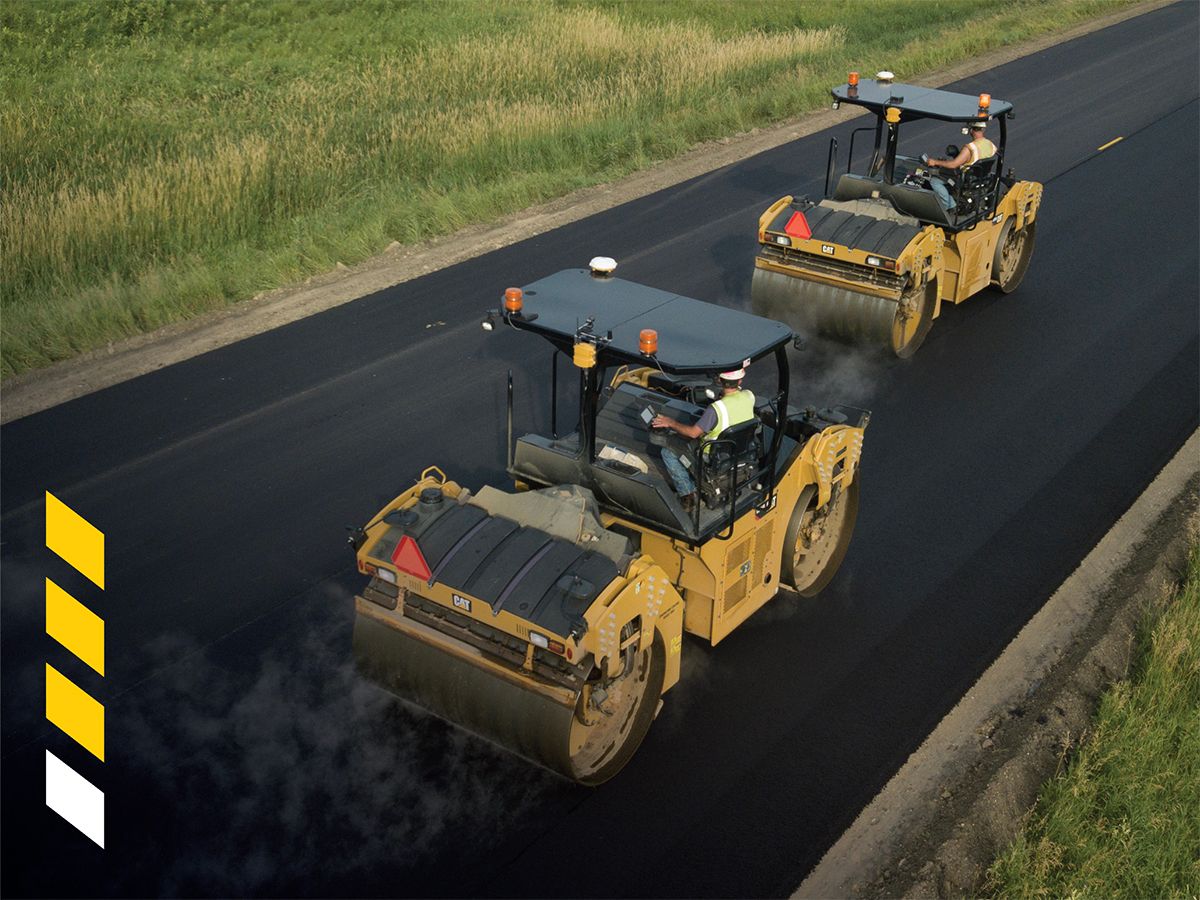
When compacting asphalt, mapping helps operators know where they’ve been or where they haven’t when marks on the mat are difficult to see or during night paving. Mapping also aids in identifying transition zones and longitudinal joint overlaps.
Quality and Process Control
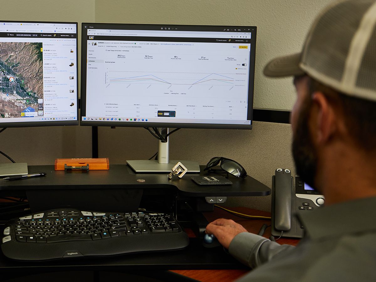
Mapping documents and saves data to the cloud providing a reference of overall quality of the job and method specs in a visual, easy-to-understand format. Access data through VisionLink™ or export through an Application Programming Interface (API).
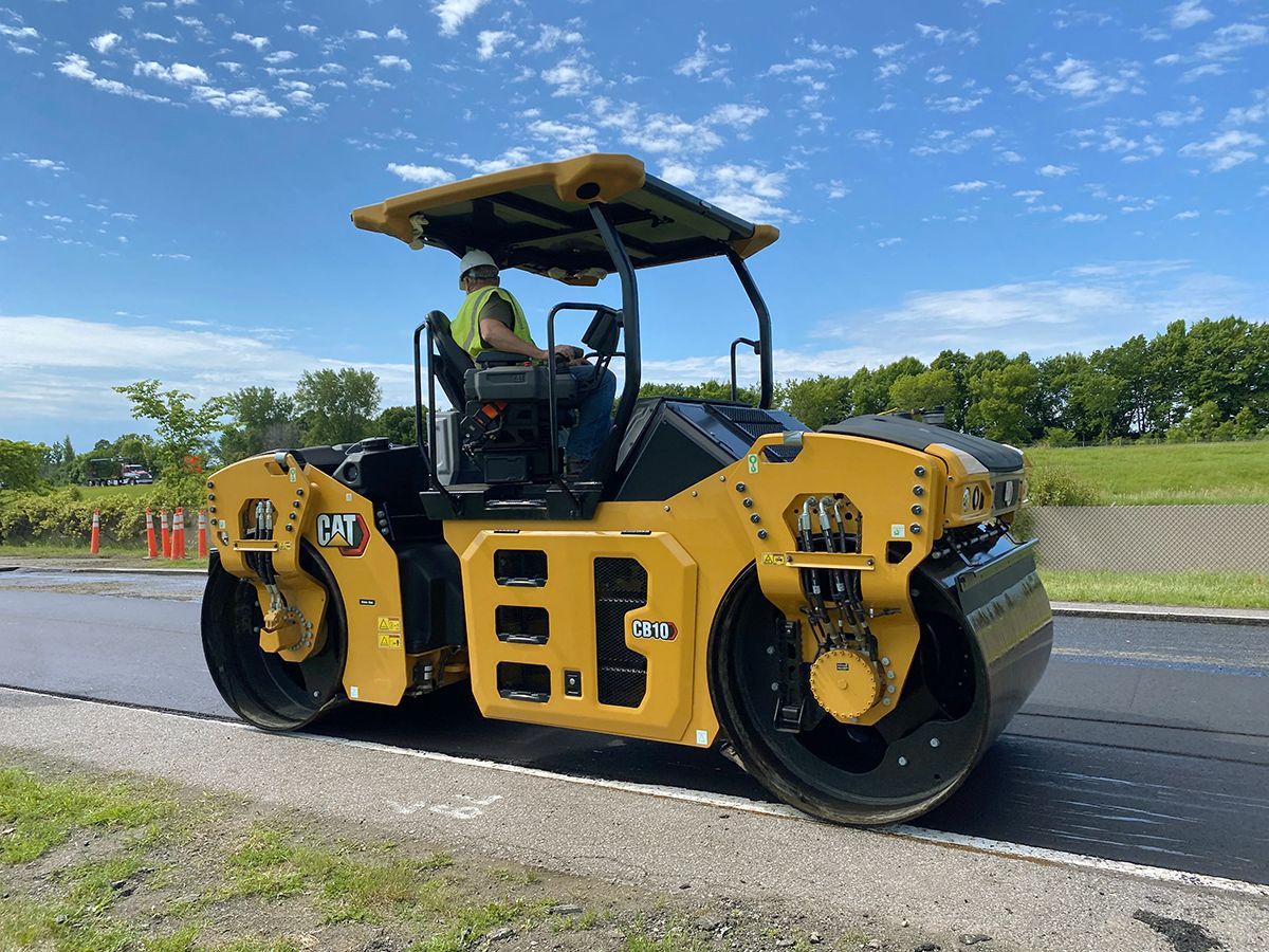
Mapping on Asphalt
The system records and saves pass count, temperature and CMV (Compaction Meter Value) values. It utilizes Global Navigation Satellite Systems (GNSS) to deliver Real-Time Kinematic (RTK) accuracy.
Mapping on Soil
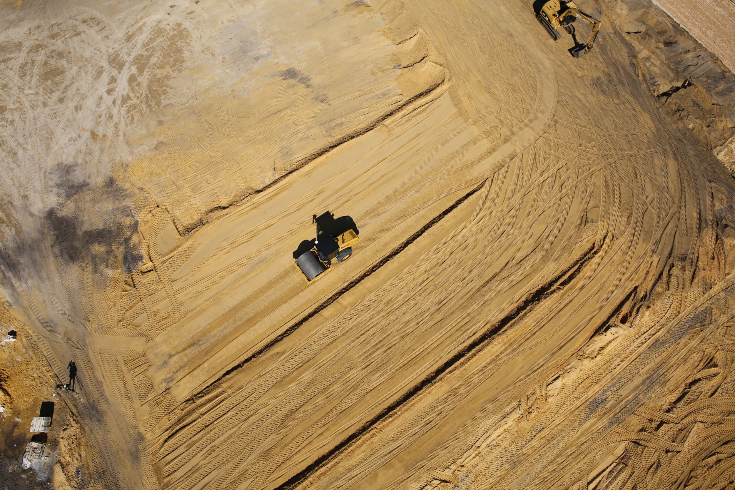
The system records and saves pass count, speed, compaction settings and values. It utilizes the Global Navigation Satellite System (GNSS) and is available in Satellite Based Augmentation System (SBAS) or Real-Time Kinematic (RTK) accuracy.
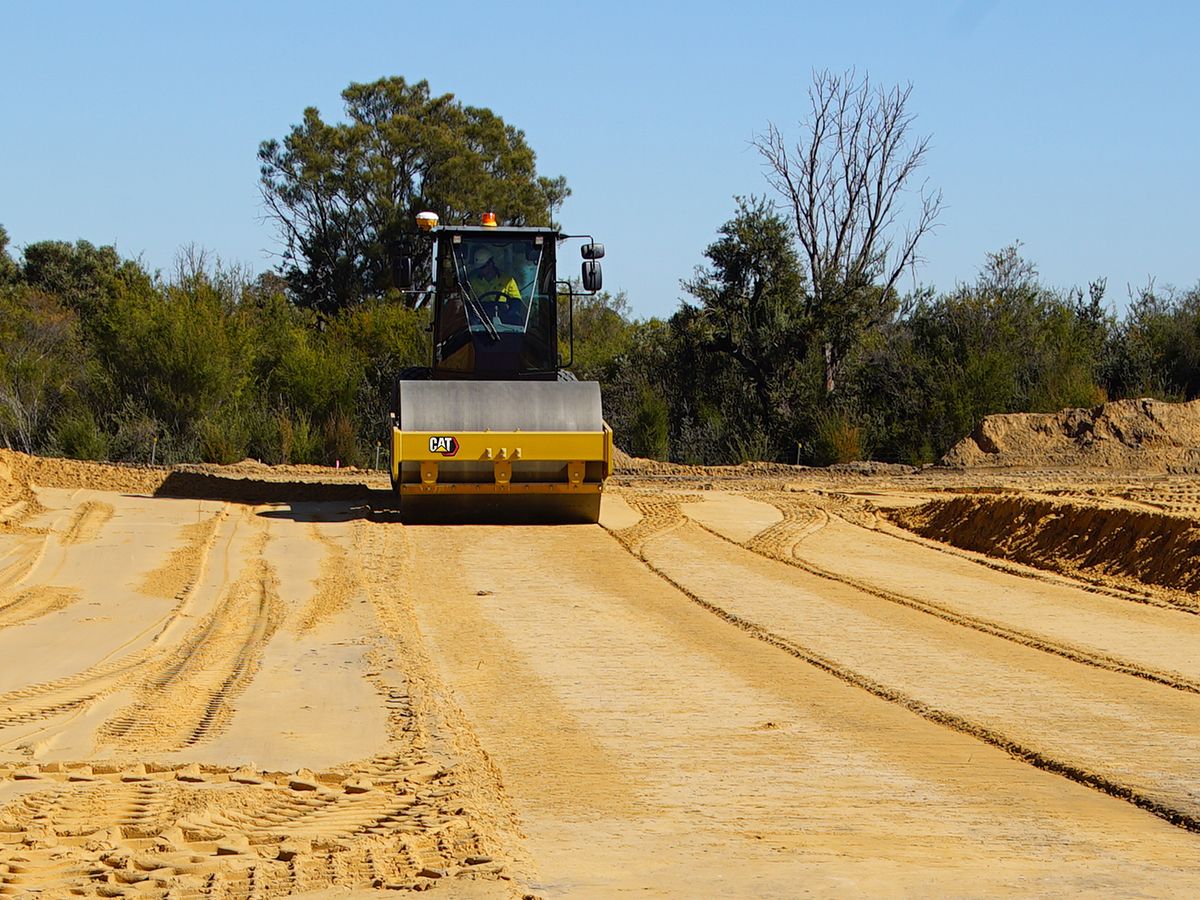
Data that Drives Results
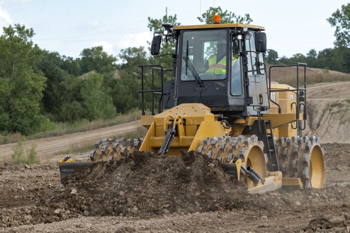
Cat Compaction Mapping can be used on asphalt paving, base construction, earthworks and waste compaction jobs. The mapping system is available on select tandem vibratory rollers, pneumatic rollers, soil or aggregate compactors and landfill compactors.
SEE HOW Cat Compaction with Mapping COMPARES AGAINST FREQUENTLY COMPARED PRODUCTS.
- Brand
- Caterpillar
- Status
- Current
- Brand
- Caterpillar
- Status
- Current