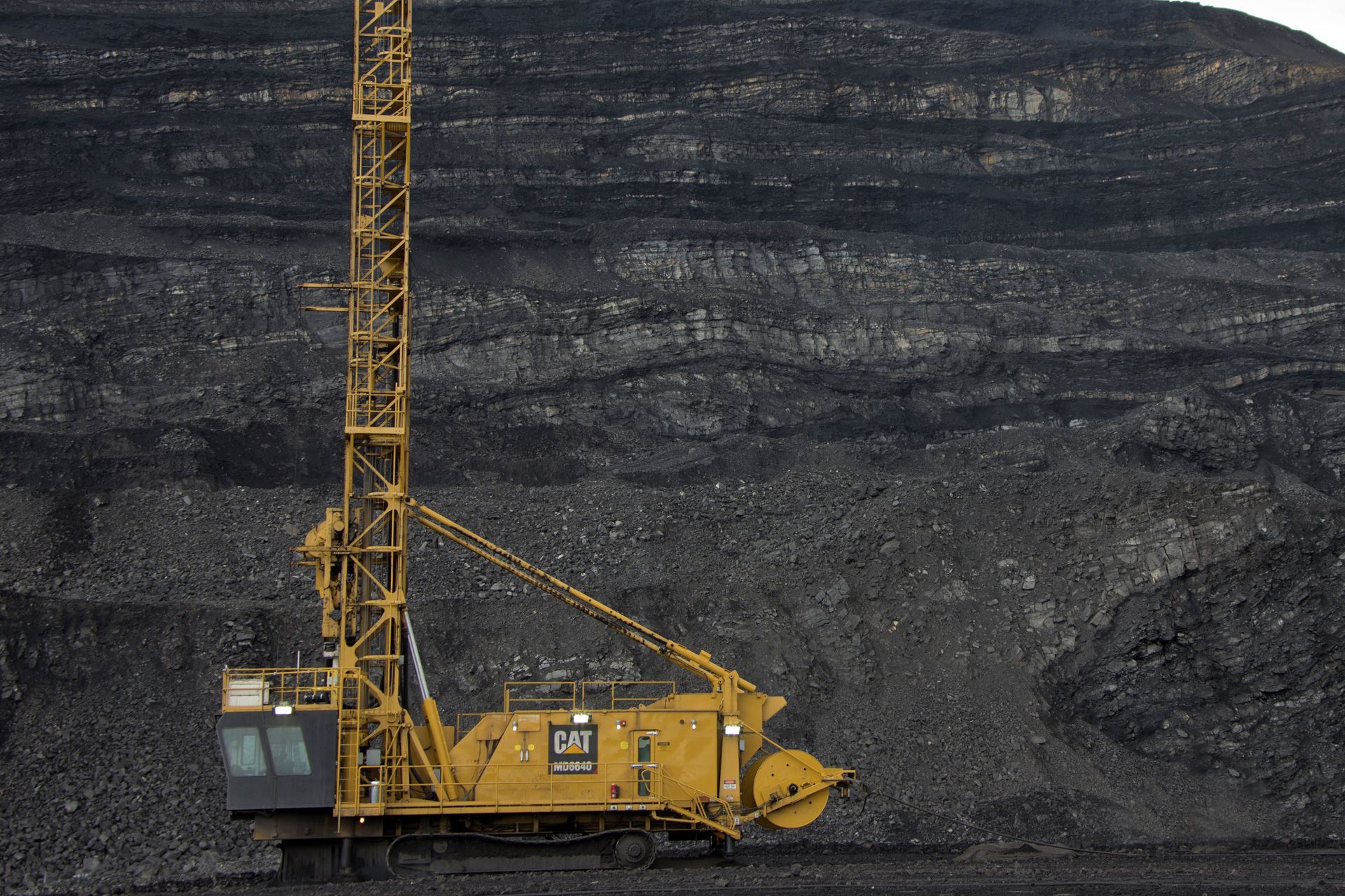
Cat Terrain for Drilling
Cat Terrain for Drilling

DESCRIPTION
Effective mining starts with accurate drilling. That means drilling every hole precisely to plan, at the proper angle and the correct depth. Cat® MineStar™ Terrain for drilling provides precision guidance that helps operators complete patterns accurately and productively. It pays other dividends, as well, by improving safety, reducing costs and recording data about drilled stratification to aid in planning blasts and improving fragmentation. And it works with all brands of drills and communicates seamlessly with MineStar and other mine management systems.Accuracy
- Increases hole placement and angle accuracy, guiding operators to within centimeters of the planned location.
- Reduces over- and under-drilling of holes on a pattern by drilling to an elevation, not a depth – delivering predictable shot results and smoother bench grades.
- Uses accurate depth sensing to ensure holes are consistently drilled to exactly the right toe depth, regardless of collar height; system automatically identifies the collar elevation and calculates the correct drill depth and inclination for each hole.
- Uses in-cab display to show when drills are aligned with the GPS coordinates of each planned hole, enabling inexperienced operators to consistently drill within the designed location tolerance, producing optimal charge distributions and consistent powder factors.
Efficiency
- Maximizes blasting efficiency by allowing operators to execute patterns more accurately.
- Improves production efficiency and reduces the amount of survey work by creating hole locations through digital drill plans.
- Helps sites achieve consistent fragmentation, which reduces the need for secondary breakage and delivers significant downstream improvements.
- Helps loaders penetrate the muck pile more easily, optimizing load cycle times, fill factors and overall haulage fleet productivity.
Production Monitoring
- Enables monitoring of operator efficiency and machine utilization for optimized production.
- Reduces costs and improves drilling accuracy through drill-to-drill hole status sharing, which makes drill plan updates easy to implement, with less chance for “missed memos” and human error.
- Transmits real-time hole status data to all of the drills sharing the same pattern.
- Provides robust reporting that outlines drill productivity, availability, utilization and compliance to plan.
- Shares data with other drills on the location depth and current status of each hole.
- Includes Strata Recognition and Hole Profile options that work together to provide real-time online analysis of drill operating parameters.
- Shows how hard the drill is working and how fast it is able to move through various strata, enabling the system to analyze the make-up of the rock mass.
- Uses exclusive algorithm within the Terrain office software that produces a Blastability Index, which provides a clear, accurate picture of variations in the bench geology and enables user to better match powder factors and other hole-loading criteria to the characteristics of the rock mass to obtain optimal fragmentation upon blasting.
- Makes it possible to finetune other downstream processes for improved blending and optimized crushing, as well as for planning future mine site expansion.
Safety
- Enables avoidance zones in hazardous areas.
- Shows drill operators the locations of bootlegs —meeting regulatory requirements and helping ensure that operators avoid undetonated holes from earlier benches.
- Automatically stops the drill from moving beyond a safe area designated by a virtual boundary.
- Reduces the need for people to work on foot near moving equipment and on unreliable surfaces through the use of digital blast plans.
- Proven to deliver greater than 50% reduction in lost-time incidents.
Reduced Costs
- Helps mines achieve proper fragmentation with less explosive material.
- Offers a scalable solution for multiple drill size classes.
- Delivers a 10% improvement in consumables costs through consumable tracking.
- Prevents movement with pipe-in-hole, reducing costs up to $75,000 on one site.
- Optimizes drilling, loading and crushing practices for potentially millions of dollars in annual savings.
Integration
- Communicates seamlessly with Cat MineStar and other mine management systems.
- Works on the largest range of models, including competitive machines.
- Shares data with other drills on the location depth and current status of each hole.
- Specs
Specs
Overview
Long Name:
Cat Terrain for Drilling
Name:
Cat Terrain for Drilling
Brand:
Caterpillar
Status:
Current
Specifications
Application
Surface Mining
SEE HOW Cat Terrain for Drilling COMPARES AGAINST FREQUENTLY COMPARED PRODUCTS.
Terrain
Cat Terrain for Drilling
- Brand
- Caterpillar
- Status
- Current
- Application
- Surface Mining
Selected Model
Terrain
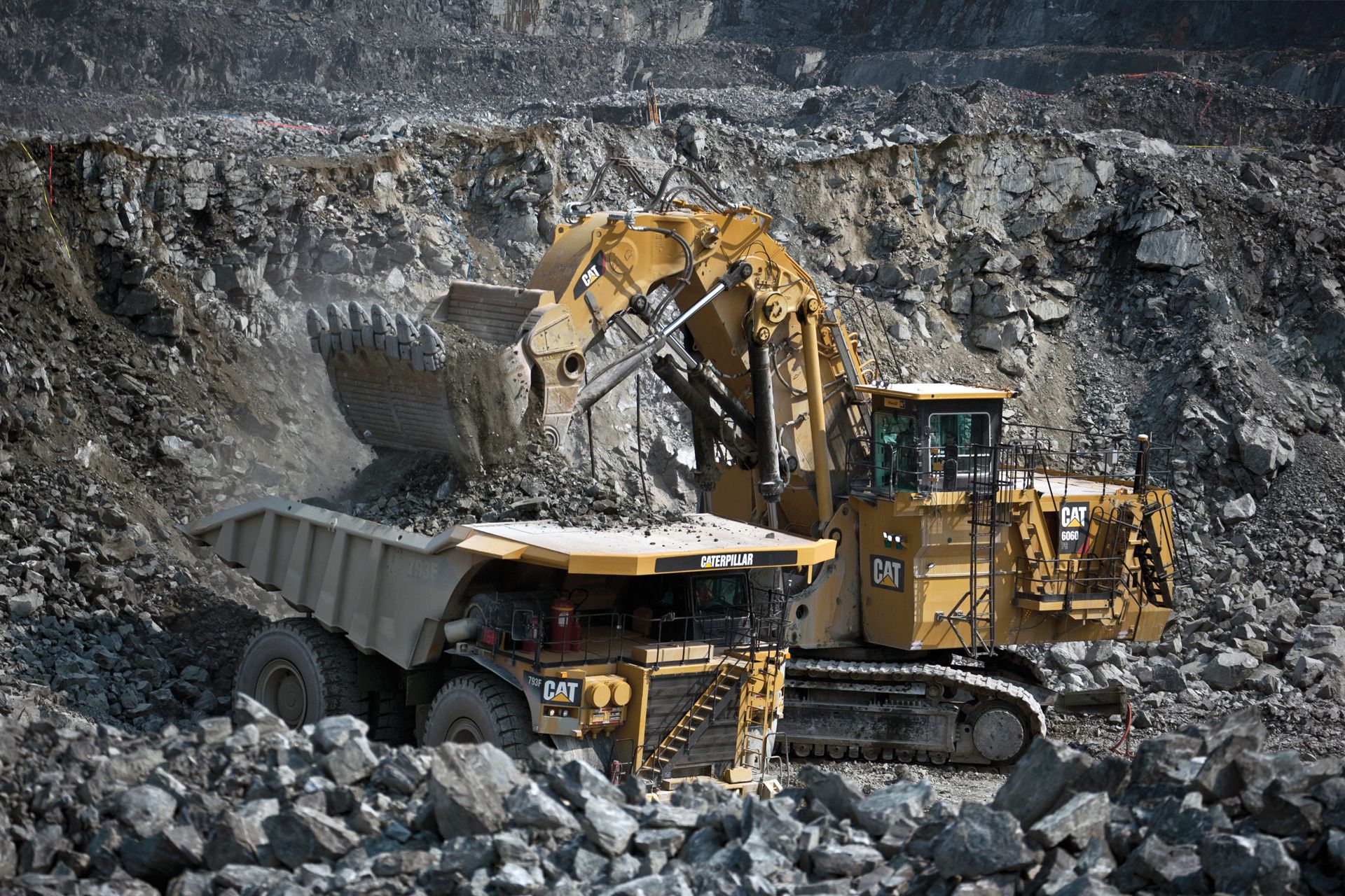
Cat Terrain for Loading
- Brand
- Caterpillar
- Status
- Current
- Application
- Surface Mining
Terrain
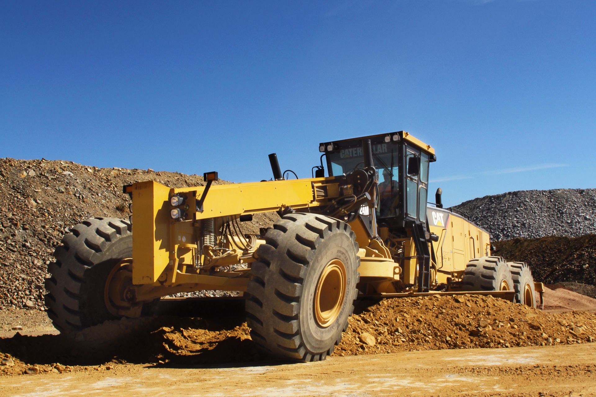
Cat Terrain for Grading
- Brand
- Caterpillar
- Status
- Current
- Application
- Surface Mining